Technologies / Platform · 01
ProductionOrbis
The territorial management platform that centralizes operations, contacts, maps, forms and processes for organizations, governments and companies.
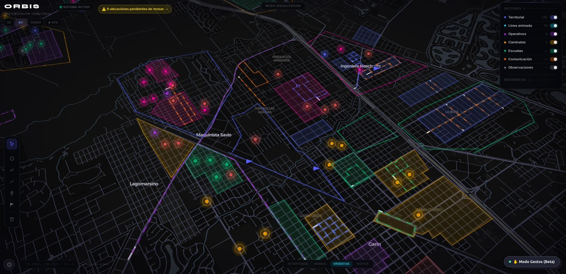
Orbis — operational command view
The problem
Territory doesn't live in one system.
Municipalities, utilities and field-operations teams manage territory through disconnected spreadsheets, paper forms and static maps. Data about residents, assets and incidents lives in separate systems that don't talk to each other — so getting a complete view of what's happening on the ground, or responding to it, takes far longer than it should.
- Fragmented recordsContacts, assets and cases are duplicated across tools with no single source of truth.
- Paper in the fieldForms collected on paper or in isolated apps take days to reach a usable database.
- Maps without contextStatic maps show geography, but not the operational data attached to it.
How it works
One platform, four operating layers.
Centralize
Contacts, addresses, assets and organizational structure are consolidated into a single territorial database, replacing scattered spreadsheets.
Map
Every record is placed on interactive maps, turning static lists into spatial context that operations teams can navigate directly.
Capture
Digital forms replace paper in the field, feeding new data into the platform the moment it's collected.
Operate
Processes and workflows route each case to the right team automatically, turning data into follow-through.
Architecture
From field to decision.
Screenshots
Built for daily operational use.
Territorial map & contacts
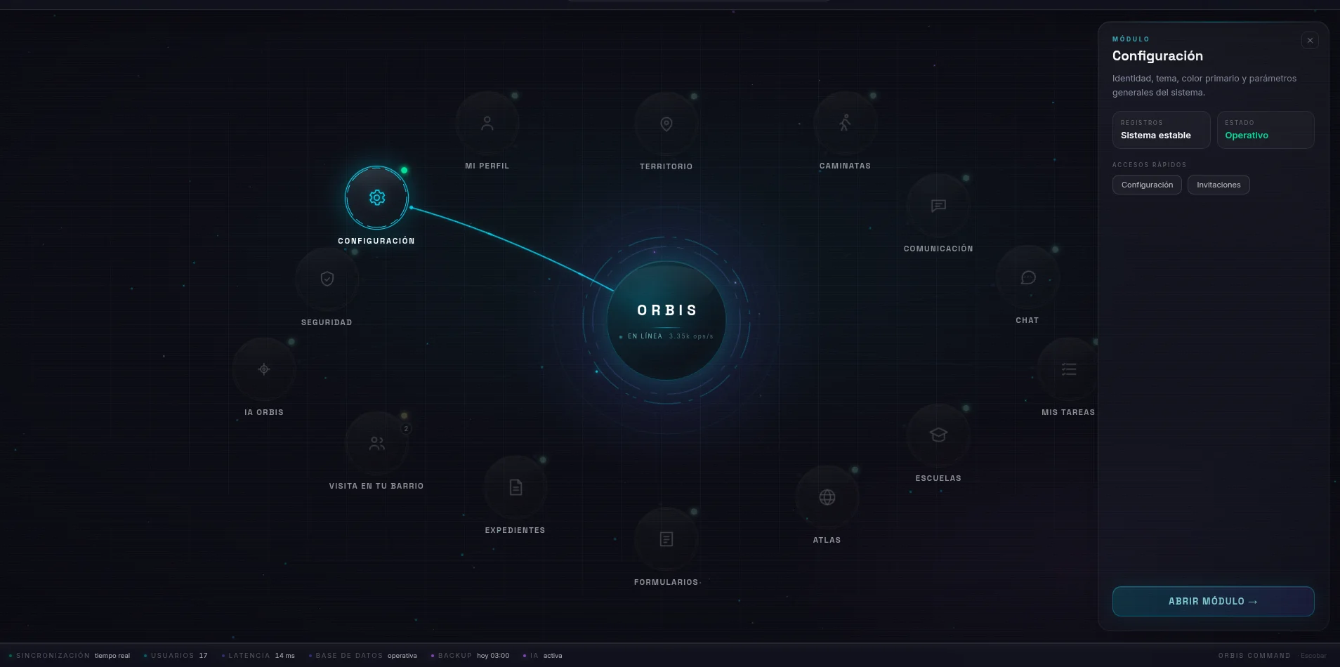
Command panel
Benefits
What changes on day one.
One source of truth
Every team works from the same record of contacts, assets and cases, instead of reconciling spreadsheets after the fact.
Faster field response
Digital forms and live maps replace paper trails, cutting the time between an event and an operational response.
Built to scale
The same deployment model supports a small municipality or a nationwide operation, without re-architecting the platform.
Applications
Where Orbis runs today.
See Orbis running on your territory.
Schedule a walkthrough with real data from your operation.
Contact Us